Camp Site
Filters
- 686
- ADVENTURE MAPS
- ADVENTURE MEDICAL KT
- ALOHA
- ALPENAIRE FOODS
- AQUABOUND
- ARCADE
- ARCTERYX
- ATLAS
- ATOMIC
- AUCLAIR
- AVENTURA
- BIG AGNES
- BLACK DIAMOND
- BLUE Q
- BLUE WAVE
- COGHLANS
- COLUMBIA
- COTOPAXI
- DARN TOUGH
- DUER
- EUREKA
- FIG
- FISCHER
- FJALL RAVEN
- FOX 40 WHISTLES
- FOX RIVER
- GEAR AID
- GOODR
- GRANGER'S
- GREGORY MOUNTAIN
- GSI
- HUK
- HYDRO FLASK
- ICEBREAKER
- IGNIK
- INDYEVA
- JETBOIL
- KARI TRAA
- KATADYN
- KEEN FOOTWEAR
- KLYMIT
- KOMBI
- KRIMSOM KLOVER
- KUHL
- KUMA
- LA SPORTIVA
- LOWA
- MALOJA
- MANZELLA
- MARMOT
- MERRELL
- MOSQUITO SHIELD
- MOUNTAIN HARDWEAR
- MOUNTAIN SAFETY RESE
- MUSTANG
- NALGENE
- NEMO
- NIKWAX
- NITE-IZE
- NORTH FACE
- NORTHWEST RIVER SUPPLIES
- OBOZ
- OLD TOWN
- OLUKAI
- OSPREY
- OUTDOOR RESEARCH
- PATAGONIA
- PEAK REFUEL
- PETZL
- PLATYPUS
- PRANA
- RECREATIONAL BARREL WORKS
- REDPADDLE
- REEF
- ROYAL ROBBINS
- SALOMON
- SALUS
- SCARPA
- SEA TO SUMMIT
- SEALINE
- SILVA
- SMART WOOL
- SMITH
- SUNBUM
- SUSPENZ
- SWIX
- TEN TREE
- THERMAREST
- TILLEY
- TOAD & CO
- TRAVELON
- TUBBS
- UCO
- UNLOSTIFY
- VICTORINOX
- VUORI
- WABOBA
- WERNER
- YETI
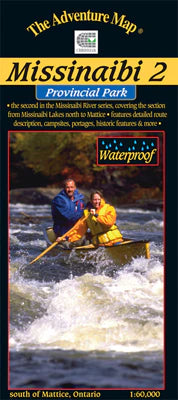
Missinaibi 2 - Missinaibi Lake to Mattice Map
ADVENTURE MAPSALL MAPS FINAL SALE - Most serious paddlers have heard of the Missinaibi River - the longest unbroken stretch of paddling river in Ontario - but th...
View full detailsKillarney Provincial Park Planning Map WATERPROOF
ADVENTURE MAPSALL MAPS FINAL SALE This waterproof, large format, medium-scale (1:55,000) topographic map of the entirety of Killarney Provincial Park, is perfect...
View full detailsPortage Sign, Small, Killarney, Yellow
ADVENTURE MAPSThese low-cost diamond-shaped signs have a standard portage symbol and Killarney lettering. Tough yellow UV plastic and black UV ink. Each has 4 ho...
View full detailsHiker Sign, Small, Algonquin, Blue
ADVENTURE MAPSThese low-cost diamond-shaped signs can mark a trail or help users differentiate between a hiking trail and a portage where they meet or cross. Sim...
View full detailsMoose Sign, Small, Algonquin, Yellow
ADVENTURE MAPSThese low-cost diamond-shaped signs have a moose symbol and Algonquin lettering. Tough yellow UV plastic and black UV ink. Each has 4 holes for mou...
View full detailsMoose Sign, Large, Algonquin, Yellow
ADVENTURE MAPSThese large square-shaped signs have a moose symbol that will be visible for a considerable distance. Tough orange UV plastic and black UV ink mean...
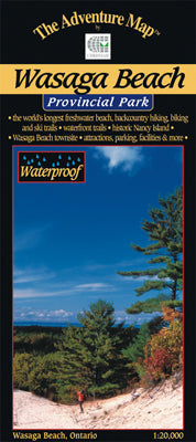
View full detailsWasaga Beach Provincial Park & Area Map
ADVENTURE MAPSAll maps are FINAL SALE Scale: 1:20,000. Waterproof. To most people Wasaga Beach means kilometres of white sandy beach on the shore of Georgian Bay...
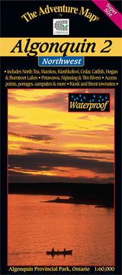
View full detailsAlgonquin 2 - Northwest Map
ADVENTURE MAPSAll maps are FINAL SALE Scale: 1:60,000. Waterproof. Our detailed topographic map & guide to the more remote northwest quadrant of Algonquin Pr...
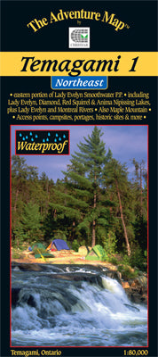
View full detailsTemagami 1 - Northeast Map
ADVENTURE MAPSAll maps are FINAL SALE Scale: 1:80,000. Waterproof. One of the world's great paddling areas, Temagami provides thousands of lakes and rivers among...
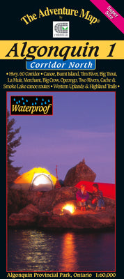
View full detailsAlgonquin 1 - Corridor North Map
ADVENTURE MAPSAll Maps are FINAL SALE Scale: 1:60,000. Waterproof. Our detailed topographic map & guide to all paddling routes, hiking & backpacking trai...
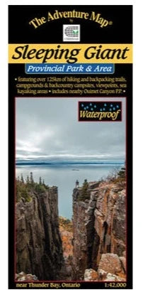
View full detailsSleeping Giant Provincial Park Map
ADVENTURE MAPSA large, medium-scale (1:42,000) waterproof map of the entirety of Sleeping Giant Provincial Park and surroundings that is perfect for planning you...
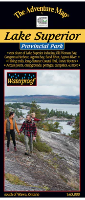
View full detailsLake Superior Provincial Park Map
ADVENTURE MAPSALL MAPS FINAL SALE - The eastern Lake Superior coast offers wonderfully rugged wilderness hiking and backpacking as well as coastline and backcoun...
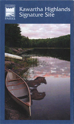
View full detailsKawartha Highlands Provincial Park Planning Map
ADVENTURE MAPSALL MAPS FINAL SALE - A medium-scale (1:40,000) paper map of Kawartha Highlands Provincial Park that can be helpful when planning your trip. It sho...
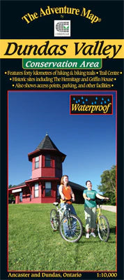
View full detailsDundas Valley Conservation Area Map
ADVENTURE MAPSALL MAPS FINAL SALE - A wilderness conservation area between the towns of Ancaster and Dundas, this area is popular with hikers, mountain bikers, a...
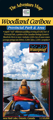
View full detailsWoodland Caribou Provincial Park & Area Map
ADVENTURE MAPSALL MAPS FINAL SALE - Looking for a huge expanse of world-class wilderness paddling territory? Then Woodland Caribou Provincial Park in northwester...
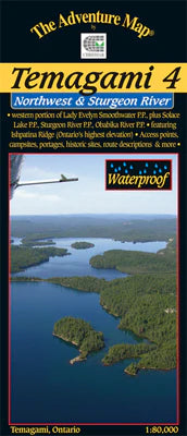
View full detailsTemagami 4 - Northwest & Sturgeon River Area Map
ADVENTURE MAPSALL MAPS FINAL SALE - This map shows the more remote western side of classic Temagami; the ideal area for a fly-in trip or a lengthy multi-week rou...
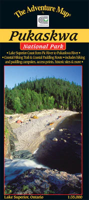
View full detailsPukaskwa National Park - Lake Superior Coast Map
ADVENTURE MAPSALL MAPS FINAL SALE - The eastern Lake Superior coast offers a wonderfully rugged wilderness paddling AND backpacking adventure in Pukaskwa Nationa...
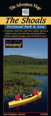
View full detailsThe Shoals Provincial Park & Area Map
ADVENTURE MAPSALL MAPS FINAL SALE - Easy to get to by major highway, this area includes a huge expanse of protected lands and waters within the Provincial Park, ...
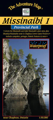
View full detailsMissinaibi 1 - Lakes Area Map
ADVENTURE MAPSALL MAPS FINAL SALE - Most serious paddlers have heard of the Missinaibi River - the longest unbroken stretch of paddling river in Ontario ...
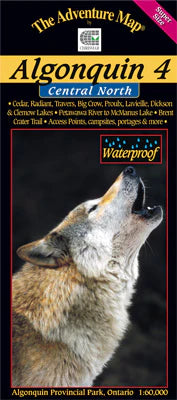
View full detailsAlgonquin 4 - North Central/Petawawa River Map
ADVENTURE MAPSALL MAPS/GUIDES ARE FINAL SALE The fourth in our main Algonquin series, this map covers the area from beyond the park boundary in the north all the...
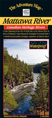
View full detailsMattawa River Provincial Park & Area Map
ADVENTURE MAPSALL MAPS FINAL SALE - The Mattawa River is one of Canada's most historic rivers. Stretching between the modern city of North Bay on Lake Nipissing ...
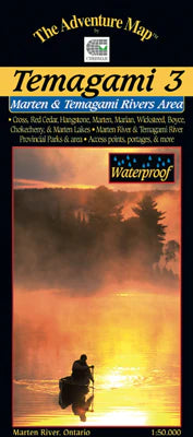
View full detailsTemagami 3 - Marten River/Temagami River Area Map
ADVENTURE MAPSALL MAPS FINAL SALE - This map shows the less-well-known south-eastern portion of Temagami, which makes it a great paddling location for those hopi...
View full detailsTemagami 2 - Lake Temagami & Area Map
ADVENTURE MAPSALL MAPS FINAL SALE - This map is the heart of Temagami - the octopus-like lake that has become one of Ontario's more popular tourist destinations....
View full detailsQuetico Provincial Park & Area Map
ADVENTURE MAPSQuetico Provincial Park, located in northwestern Ontario on the international border with Boundary Waters Canoe Area Wilderness in Minnesota, is on...
View full details