Free Delivery Over $99*
Packs, Luggage & Accessories
Filters
Ultra-Sil Pack Cover - Small 30 to 50 L
SEA TO SUMMITUltralight Cover Protects Pack From The Weather The Ultra-Sil Pack Cover ends the debate about whether you should carry one or not. It's a tiny and...
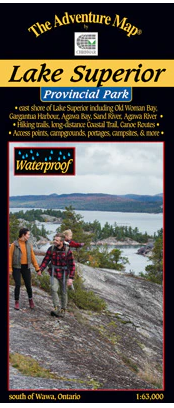
View full detailsLake Superior Provincial Park Map
ADVENTURE MAPSALL MAPS FINAL SALE - The eastern Lake Superior coast offers wonderfully rugged wilderness hiking and backpacking as well as coastline and backcoun...
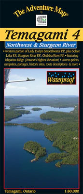
View full detailsTemagami 4 - Northwest & Sturgeon River Area Map
ADVENTURE MAPSALL MAPS FINAL SALE - This map shows the more remote western side of classic Temagami; the ideal area for a fly-in trip or a lengthy multi-week rou...
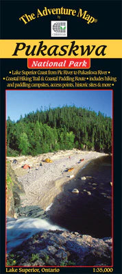
View full detailsPukaskwa National Park - Lake Superior Coast Map
ADVENTURE MAPSALL MAPS FINAL SALE - The eastern Lake Superior coast offers a wonderfully rugged wilderness paddling AND backpacking adventure in Pukaskwa Nationa...
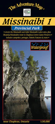
View full detailsMissinaibi 1 - Lakes Area Map
ADVENTURE MAPSALL MAPS FINAL SALE - Most serious paddlers have heard of the Missinaibi River - the longest unbroken stretch of paddling river in Ontario ...
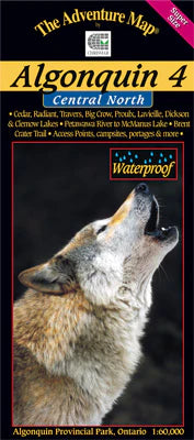
View full detailsAlgonquin 4 - North Central/Petawawa River Map
ADVENTURE MAPSALL MAPS/GUIDES ARE FINAL SALE The fourth in our main Algonquin series, this map covers the area from beyond the park boundary in the north all the...
View full detailsTemagami 2 - Lake Temagami & Area Map
ADVENTURE MAPSALL MAPS FINAL SALE - This map is the heart of Temagami - the octopus-like lake that has become one of Ontario's more popular tourist destinations....
View full detailsQuetico Provincial Park & Area Map
ADVENTURE MAPSQuetico Provincial Park, located in northwestern Ontario on the international border with Boundary Waters Canoe Area Wilderness in Minnesota, is on...
View full detailsAlgonquin 3 - Corridor South Map
ADVENTURE MAPSALL MAPS FINAL SALE - Our detailed topographic map & guide to all paddling routes, hiking & backpacking trails, and attractions all along a...
View full detailsMississaugi River & Aubrey Fall Provincial Park Map
ADVENTURE MAPSALL MAPS ARE FINAL SALE This is one of Ontario's lesser-known, and used, wilderness paddling rivers. That's a little odd given that the 191-km-long...
View full detailsHalfway Lake Provincial Park Map
ADVENTURE MAPSALL MAPS ARE FINAL SALE This compact but feature-rich provincial park sits on the Canadian Shield about an hour north of Sudbury. Easily accessibl...
View full detailsMassasauga, The, Provincial Park Camping & Facilities Guide
CHRISMARALL MAPS/GUIDES ARE FINAL SALE A medium-scale (~1:30,000) official waterproof map of Massasauga Provincial Park is essential when planning and taki...
View full detailsPoker Lake Area - Haliburton Highlands Map
ADVENTURE MAPSALL MAPS ARE FINAL SALE The Poker Lake System is a compact paddling area on crown land just west of Carnarvon in Haliburton County. The area stradd...
View full detailsPinery Provincial Park
ADVENTURE MAPSLocated on the Ontario shore of Lake Huron just 60 km north of Sarnia, the rolling dunes and unusual oak savanna forests of Pinery create a popular...
View full detailsMississagi Provincial Park & Area Map
ADVENTURE MAPSALL MAPS ARE FINAL SALE Our guide to this superb hiking and paddling area just north of Elliot Lake, Ontario, includes not only Mississagi P.P., bu...
View full detailsFrost Centre Area - Haliburton Highlands Map
ADVENTURE MAPSALL MAPS ARE FINAL SALE This popular map showcases over 500 km2 of wilderness in the Haliburton Highlands region of Ontario, including the popular ...
View full detailsOxtongue River/Ragged Falls Provincial Parks Map
ADVENTURE MAPSALL MAPS ARE FINAL SALE This 1:30,000 scale map of the Oxtongue River area covers the river itself from Oxtongue Lake in the west to Canoe and Smok...
View full detailsCollingwood, the Blue Mountains & Beaver Valley Hikes
LOOPS & LATTESEscaping into nature is more important than ever, and what better way to do it than with a Loops & Lattes hiking guide tucked under your arm? W...
View full detailsWaterloo, Wellington & Guelph Hikes
LOOPS & LATTESWaterloo, Wellington & Guelph Hikes, the fifth in our Loops & Lattes series of hiking guides, takes you to a land where historic cities, to...
View full detailsHamilton and Area Hikes
LOOPS & LATTESKnown as the “Waterfall Capital of the World,” this guide takes you to more than 20 of them. While there’s something captivating about cascading wa...
View full detailsHalton Hikes
LOOPS & LATTESIn this new, completely revised edition of Halton Hikes: Loops & Lattes, Nicola describes 37 routes that will appeal to casual walkers as well ...
View full detailsCaledon Hikes: Loops & Lattes
LOOPS & LATTESDiscover 37 New and Beautiful Hiking Loops Situated in Southern Ontario’s Greenbelt, home to the Niagara Escarpment’s cliffs, the Oak Ridges Morain...
View full detailsMassasauga - Paddling Map
UNLOSTIFYALL MAPS/GUIDES ARE FINAL SALE Includes Georgian Bay & Crown Land
Kawartha Highlands - Paddling Map
UNLOSTIFYIncludes Crown Land (Eels Creek & More) FINAL SALE
