
Wasaga Beach Provincial Park & Area Map
All maps are FINAL SALE
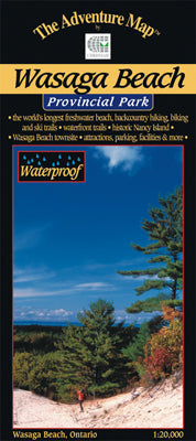
Scale: 1:20,000. Waterproof.
To most people Wasaga Beach means kilometres of white sandy beach on the shore of Georgian Bay, but there is much more to this unusual Provincial Park.
In addition to the famous beach and town, our map also shows the forested dune area behind the town with over a hundred kilometres of hiking and biking and cross-country skiing trails. Unusual plants and trees, oak savannah forest, towering sand dunes over 100 metres high, wild deer, great birdwatching opportunities, Nancy Island Historic Site and extraordinary solitude await you here. It's a fascinating place and well worth a visit.
This 1:20,000 scale, completely original (like all the others) topographic map has unprecedented detail, and includes beach access points, hiking trails, town details and features including road names, canoe access points, plus many other features. The back side is full of helpful info and beautiful colour photos about the park history, animals, fish and birds, hiking trails, other attractions, contact info and much more.
Our map is waterproof, as usual, so you can also use it as a water jug or a rainhat.